| Climate Analysis |
 | Rainfall and temperature time series (1983-2008) reconstructed from station observations and remote sensing proxies. This interface allows users to view rainfall, maximum and minimum temperature climatologies and anomalies.
|
| Climate Monitoring |
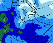
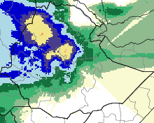 | This is a rainfall-monitoring product based on dekadal rainfall estimates. The interface allows users to view recent rainfall estimates with a seasonal and recent historical perspective. Time series analyses of rainfall data are generated based on user-selected parameters.
|
| Climate and Health |
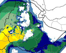 | Empirically-derived thresholds of precipitation, temperature and relative humidity are used to assess the climatic suitability of malaria transmission. The interactive map initially displays the number of months during the year when climatological averages meet these requirements. Users may gain insight into how often these conditions have actually occurred during any particular month by clicking on the map at the location of interest. |
| Climate and Agriculture |
| Under construction. |
| Climate and Water |
| Under construction. |
